


intranet Environmental Management System (iEMS)


Block Ops
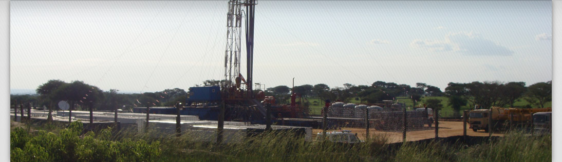
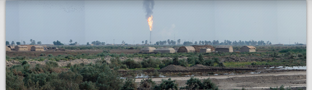
The Block Operations page provides the user with an overview of where the oil and gas concessions are located and their associated E&P activities.
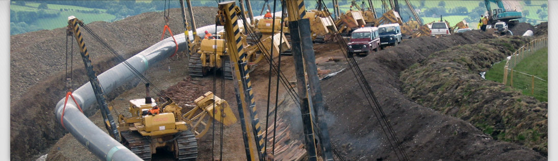
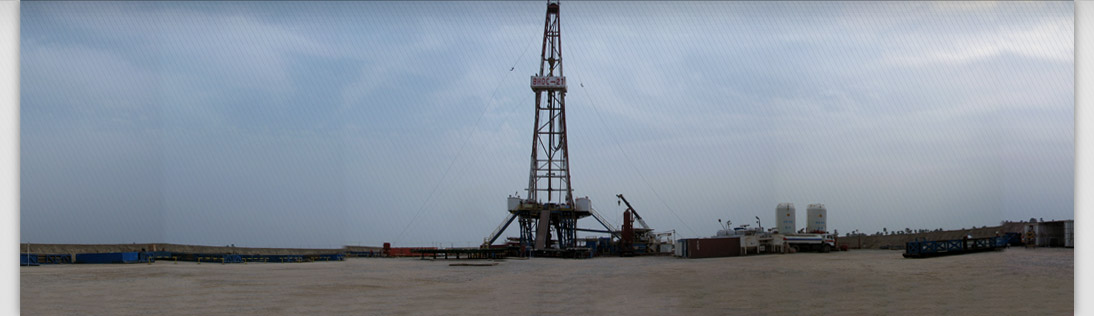
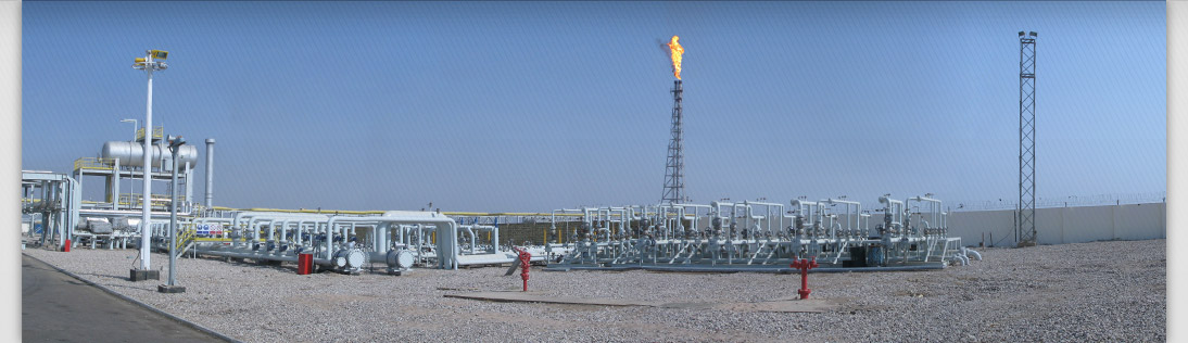
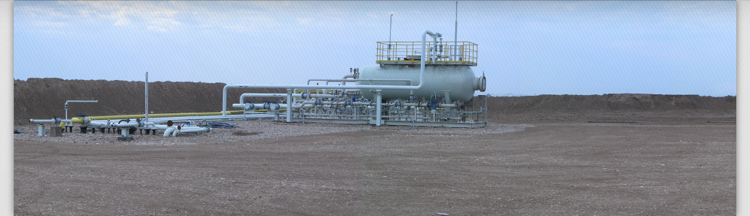
Ideally we would like to illustrate on the Block Ops page the extent of not only your concession or concessions, but also their infrastructure as well. This may include a zoom-in map illustrating a schematic of processing facilities, well sites etc. If your company is at the exploration stage, a figure could be included that shows the location of the exploration well sites, or the areas over which seismic surveys have been conducted. The general idea is to be able to very quickly see and show your colleagues where your operations are located, which will help gain familiarity with the setting of the operations.
A feature that can be added is a drop down, for instance on an exploration pad, that lists and provides links to related reports that will be stored in the iEMS library.
The library presented in the iEMS© is provided to hold information pertaining to the environment and socio-economics of your concession area, in particular the ESIAs carried out by your company, as well as monitoring and compliance studies. By having all the reports flash up in one location it will be very easy to determine whether an environmental study or permit exists for a site, area or activity.
© 2012 iEMS. | Working in conjunction with Invicta - Planning services to the Oil and Gas Industry.